Red River |
Tel: (01773) 533050 |
Red River Local Nature Reserve
|
Location and Access
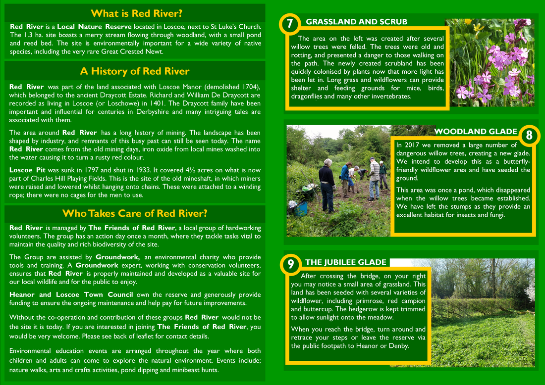
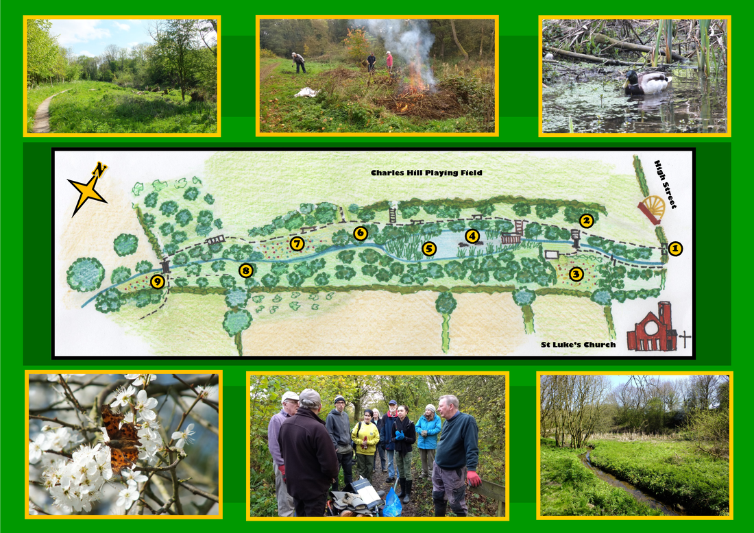
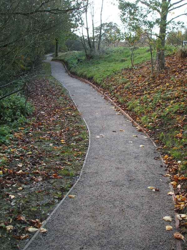
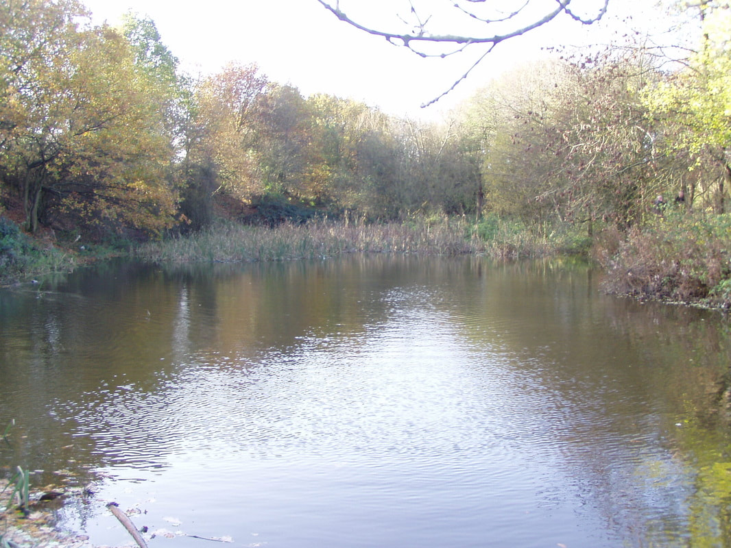
Red River LNR is located off the High Street, next to St Luke’s Church, in Loscoe, Derbyshire. Grid Ref: SK 425475. It is half a mile from Heanor Town Centre and three miles from Ripley, the administrative centre of the borough of Amber Valley, in which it is situated. The total area of the site is 1.3 ha and contains a pond with a maximum size of 1,690m², which often dries out totally during the summer months. A footpath runs through the length of the site from the main entrance off the Heanor Road to open countryside and the wider ROW network at the western edge of the site. Another unadopted footpath links to the main footpath through the site, coming over the watercourse from the Heanor Road by the side of St. Luke’s church. Site Information
A management plan was first written in 1991 when the site first came into active management as a consequence of being included in the Community Wildspaces project organised through Groundwork. The management plan has been updated a number of times since then and is currently being updated to recognize the considerable infrastructure developments and habitat management carried out on the site since the current plan was written in 2002. An invertebrate survey of the pond and wetland area by freelance ecologist Bob Merritt took place in summer 2001. A vegetation survey of the grassland took place in summer 2002 by ecologist Alan Withington. Derbyshire Wildlife Trust undertook a botanical survey of the site in July 2005 as part of a site assessment for inclusion in the Wildlife Sites Register. Heanor Gate Science College Environmental Science Department organised sixth form students to undertake water quality analysis and a vegetation survey in 2010. Casual records of flora and fauna are collated by the Community Wildspace Officer, employed by Groundwork Derby and Derbyshire. The site was designated a Local Nature Reserve in 2003 by Heanor & Loscoe Town Council and is shown as such on Amber Valley Borough Council’s Local Plan. It was also included on the Derbyshire Wildlife Sites Register in 2006. Conservation Value The site was designated a Local Nature Reserve in 2003 and a County Wildlife Site in 2006.
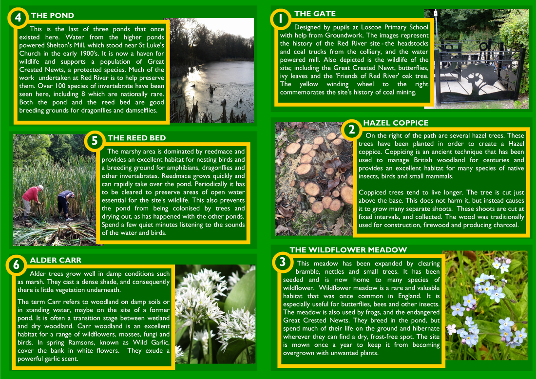
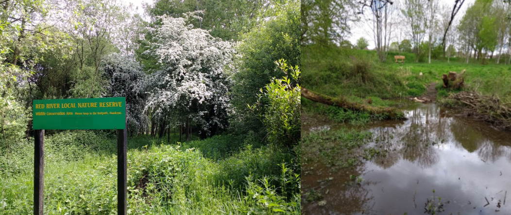
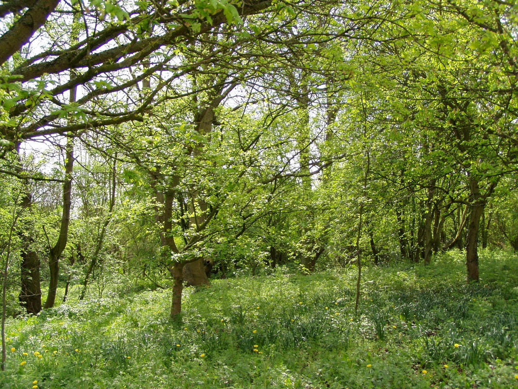
The pond is a very important habitat with standing water being a priority habitat in the Lowland Derbyshire LBAP. The pond supports a population of Great Crested Newt which is a protected species on the National BAP priority species list along with breeding wildfowl including Moorhen and Mallard. The small area of wet woodland is also a priority habitat and despite its small area is valuable in a local context. Despite its small size there are a mosaic of habitats in the area in addition to the pond, its’ margins and the wet woodland along the stream. These include small areas of grassland, one of which is acidic in nature built on old pit spoil, whilst the other is more neutral and has been improved by the introduction of grassland plants. Hedgerow, mixed broadleaf woodland and areas of scrub and tall herb vegetation are also to be found. In an area that is on the urban fringe with intensive agriculture as the predominant use of green open space, this site is valuable not only for the recognised priority species and habitats but for the space and variety it gives for typical wildlife of the area to find a niche. Site Management |
The character and ecological value of Red River Local Nature Reserve (LNR) lies in the variety of habitats present. Without intervention, natural processes of succession would proceed with a resulting loss in habitat’s, therefore appropriate management is required to maintain a balance of these various habitat types. In general, a site which contains a variety of habitats will support a more diverse assemblage of plants and animals.
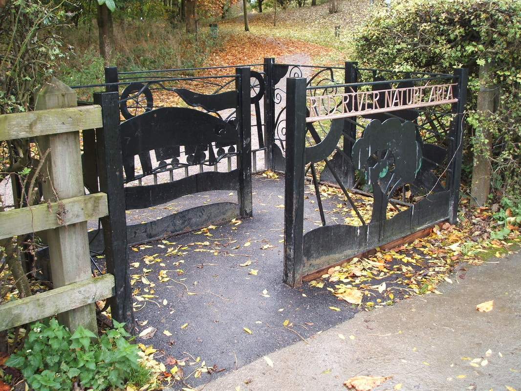
Management is also required to ensure that public use of the area does not lead to the damage of sensitive habitats, and to ensure that the activities of one group of users do not conflict with the interests of others. In particular it will be necessary to control some of the adverse effects resulting from the public use of the site. Site History Red River Nature Area was part of the land associated with Loscoe Manor (demolished 1704). Loscoe Manor belonged to the ancient Draycott Estate. Richard and William De Draycott are recorded in Loscoe or Loschowe in 1401. The Draycott family have been important and influential for centuries in Derbyshire and many intriguing tales are associated with them. The name Red River probably originated at the time of 1791 when a copper works was operating to the north utilising the known deposits of iron and coal. A water mill used to stand close to where St Luke’s Church is now; the pond is thought to be associated with the mill. There were originally three ponds, but the top two have dried out and wooded over. The site is shown on maps of the early 1900’s indicating the pond as ‘cold’ pond with a higher pond known as ‘hot’ pond. ‘Owd’ Loscoe Pit (closed 1933) was adjacent to the Red River site, it used to be on what is now the location of Charles Hill Playing Fields. The historical interest has been interpreted on the site in the form of an interpretation board and entrance gate which depicts elements of interest on the site. A leaflet has also been published which includes information on both the historical and natural history of the site. The local community have valued this area for many years and the Local History Society regards it as an important site of great historical interest. Ownership and Management The site is owned by Heanor & Loscoe Town Council and is managed by the Friends of Red River and Groundwork Derby and Derbyshire. The “Friends Group” hold bi-monthly meetings with representation from the Town Council and Groundwork. The meetings discuss the maintenance, management and development of the site and plan practical task days and environmental events and activities. Landscape Character The site is linear, situated in a shallow valley bordered to the south and west with agricultural land to the north by amenity playing fields and to the east is the High Street. The site is a mixture of small open areas of grassland, deciduous woodland, hedgerow, stream, pond and willow carr. There is a well spread age structure with sufficient canopy, shrub and under storey species to support a wide variety of fauna and flora.
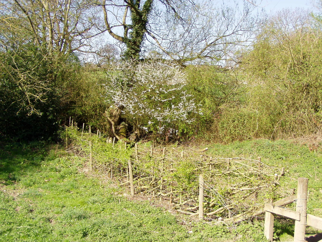
The south area is an example of mixed scrub/woodland with a predominance of hawthorn, oak and bramble. The boundary of the site onto agricultural fields is marked by a hedgerow of mixed native species planted in 2003. This area is designated as a ‘refuge’ area for wildlife and as such access is discouraged. The north bank is bordered by the playing fields with the actual boundary marked by a hedgerow of mixed native species. There are also three formal access points onto the site from the playing fields, encouraging access. At the northern end this side of the site is quite open with areas of grassland that have been enhanced in the past with the introduction of plants including Devil’s Bit Scabious and Purple Loosestrife. The central area along the stream is mostly woodland with mature crack willow and alder with scattered oak and under-storey of hawthorn, elder and other species. The standing water has good marginal swamp vegetation with bulrush and yellow iris as well a other marginal and aquatic species such as creeping yellow cress, brooklime, water crowfoot and fool’s water cress. |

